Sequoia NP and Kings Canyon NP boast hundreds of miles of wilderness trails which can be connected to make an infinite number of route options. For this trip my primary objective was to complete an unfinished section of the JMT trail including a summit of Mount Whitney (the highest point in the lower 48). The route I selected was a variation of the SEKI Loop (Route Link)
Day 1: Onion Valley > Kearsarge Pass > Glenn Pass > Pinchot
Distance: 29mi - Vert gain: 7,600’
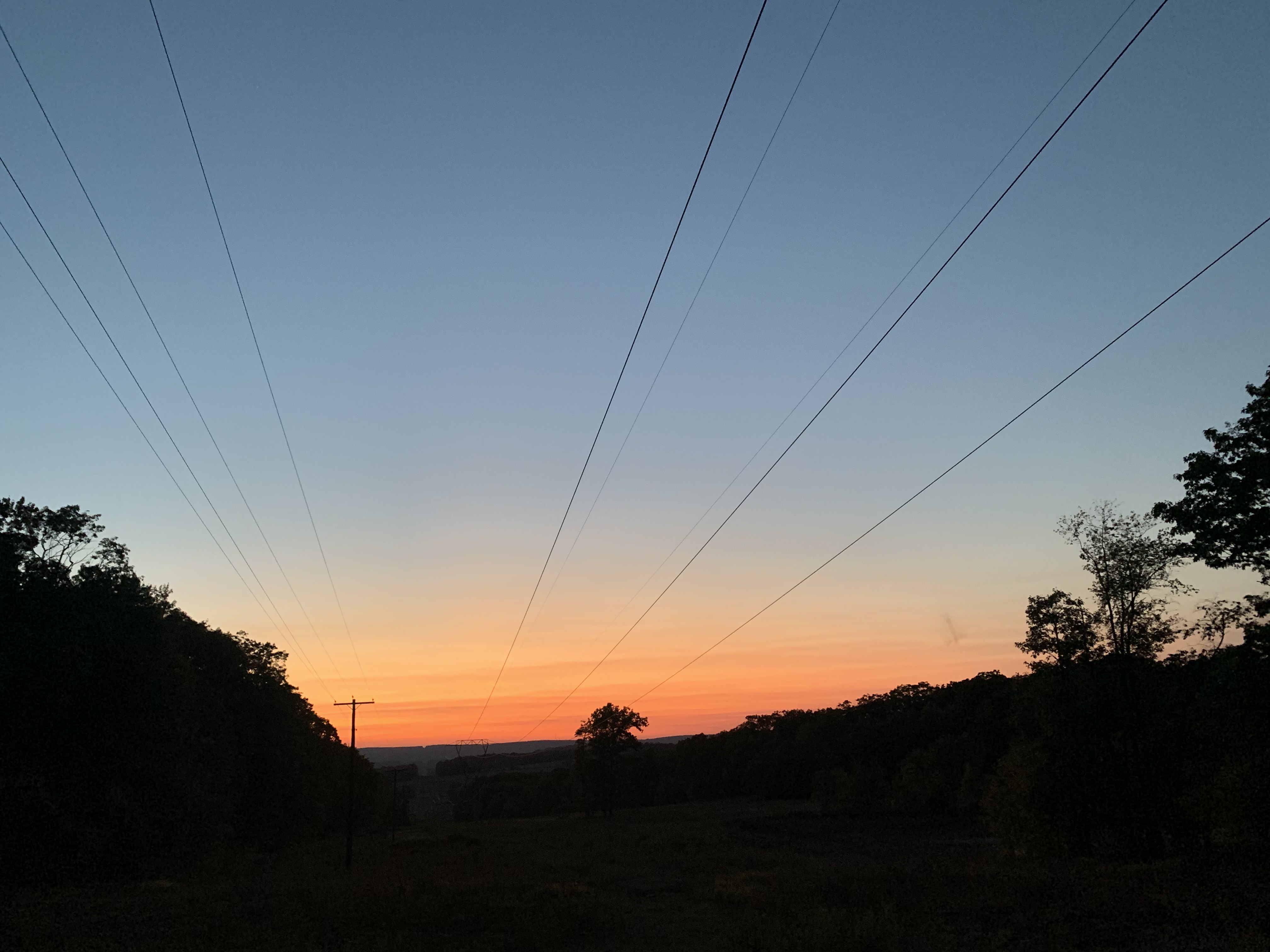
The combination of arriving at Onion Valley campground (just west of Independence, CA) after dark and the altitude change (1,200’ in Pittsburgh to 7,650’ at the trailhead) made for a fitful night of sleep. Consequently, when my campground neighbors set their car alarm off at 2:30am, I decided for an impromptu alpine start.
 Sunrise from Kearsarge Pass
Enjoying breakfast at Kearsarge Pass (11,800’) around dawn, I was treated to some fantastic alpenglow on the ridge above Bullfrog lake. At the intersection between the Charlotte Lake trail, I turned north onto the John Muir Trail (JMT). This section of the JMT is also coincident with the Pacific Crest Trail (PCT).
Alpenglow over Kearsarge Lakes
The traditional direction for JMT thru-hikers is to travel from Yosemite Valley to Mt Whitney. This direction of travel assured I’d get to cross paths with lots of JMT hikers. In contrast, PCT thru-hikers traditionally travel from Mexico to Canada which meant I was less likely to encounter PCT hikers.
Lakes below Glenn Pass
I crossed Glen Pass (11,947) before lunch and hiked down into the Rae Lakes region and down to the Woods Creek suspension bridge. Through this section I met many other hikers walking the Rae Lakes Loop and others on the JMT.

Suspension Bridge Over Woods CreekIn the late afternoon as I was climbing up to Pinchot Pass (12,139’) I approached a group of three hikers
taking a break alongside the trail. When I caught up, I learned they were also heading north so I joined
their group as we started the final approach to the pass. As we hiked, I learned that two of the hikers were a husband
and wife duo thru-hiking the PCT and the third was doing a long section hike. All three had been on trail
for more than 6 weeks.
I’m always interested in hearing the stories of other hikers. On long trails, hikers adopt or are given an alias - a “trail name” - that they go by. The name is usually bestowed by fellow hikers and usually result from a funny incident or unique fact about a hiker.
Ghost (the husband) and Moxie (the wife) started their life as thru-hikers while living in Michigan. Ghost was laid off from his job and decided to take his severance pay and hike the Appalachian Trail. After hiking the AT, the couple moved to Washington state and now worked enough to support their hiking habit and were now hiking the PCT in three sections. They asked about my hike and as I explained where I had started, Ghost started doing mental math. All
of the sudden he said, “wait, this is your third pass of the day?!” He noted that climbing three
high-altitude passes in the same day is absurd.
I was definitely feeling the effect of the high altitude and as we continued to progress toward Pichnot pass, Ghost started making up a song, to the tune of 12 Days of Christmas, that culminated
each chorus with “3 passes in one day.” This made me laugh and kept my mind off the pounding
headache I was developing and my lagging energy level.
When we finally made the pass late in the afternoon, we all sat down to take a break and survey
the basin before us. After a few minutes I announced that the blood vessels in my brain demanded
that descend to the lowest elevation to take off some of the high-altitude stress I was feeling.
I put on my pack and was saying goodbye when Ghost asked what my trail name was. I responded
that I had never hiked a long trail and so I was never given a trail name. Ghost joyfully announced,
“your name is Three Pass because no one does three passes in one day!” I accepted the moniker,
wished my new friends happy trails and headed down hill to make camp at a lower altitude.
Day 2: Bench Lake > Mather Pass
Distance: 30mi - Vert gain: 5,900’
The morning of the second day was spent climbing the southern approach to Mather Pass. I
encountered numerous southbound JMT hikers, one of whom was Scarecrow, who was given his
name by his family because “he didn’t pack his brain” on this trip. I’m sure there was a really good
story to go with his name, but he didn’t elaborate. He was hiking the JMT route with his son and he
told me that this was a long awaited trip that had been delayed by some health issues of his aging
parents.
I told him about my intended route and he scribbled down some notes saying it would be a good
alternative to the Sierra High Route that his son wanted to do in a future year. I wished Scarecrow
happy trails, and told him I might see him again as my route would send me north on the JMT again
later in the week.
After crossing Mather Pass, Palisade Lakes and descending the Golden Staircase, I encountered
another northbound PCT hiker. Mike had a similar story to TJ in that an unexpected change in
employment status had prompted him to set off on the PCT. Mike’s story was really great: he had noprevious hiking experience. He made the decision to start the PCT and was simply committed to
his goal. I really appreciated his open minded approach. He was learning lessons as he went along and
was having the time of his life walking the 2,100 mile route north to Canada.
Waterfalls on Middle Fork of King's River
At this point, my route left the JMT/PCT and turned south along the middle fork of the Kings River. When I was planning this route and studying paper maps and satellite images, the mental picture I developed of this trail was not favorable. I expected this 8 mile section of trail to be a willow-choked shwhack through a humid valley to get to the climb up to Granite Pass.
Waterfalls on Middle Fork of King's River
This trail was an excellent example of how we can draw false conclusions when we don’t have first hand experience. This trail was the sleeper of the trip. Where I expected a willow-choked creek, there was a mighty river complete with giant waterfalls spilling into giant aquamarine pools.
The day ended with a very difficult climb up from the river toward Granite Pass. Here I made a miss-calculation on where I’d find water that resulted in having to travel off-trail right at sunset to find water and then making and improvised camp with the worst sighting of the trip. The lessons of long-distance foot travel will be retaught until they are learned.
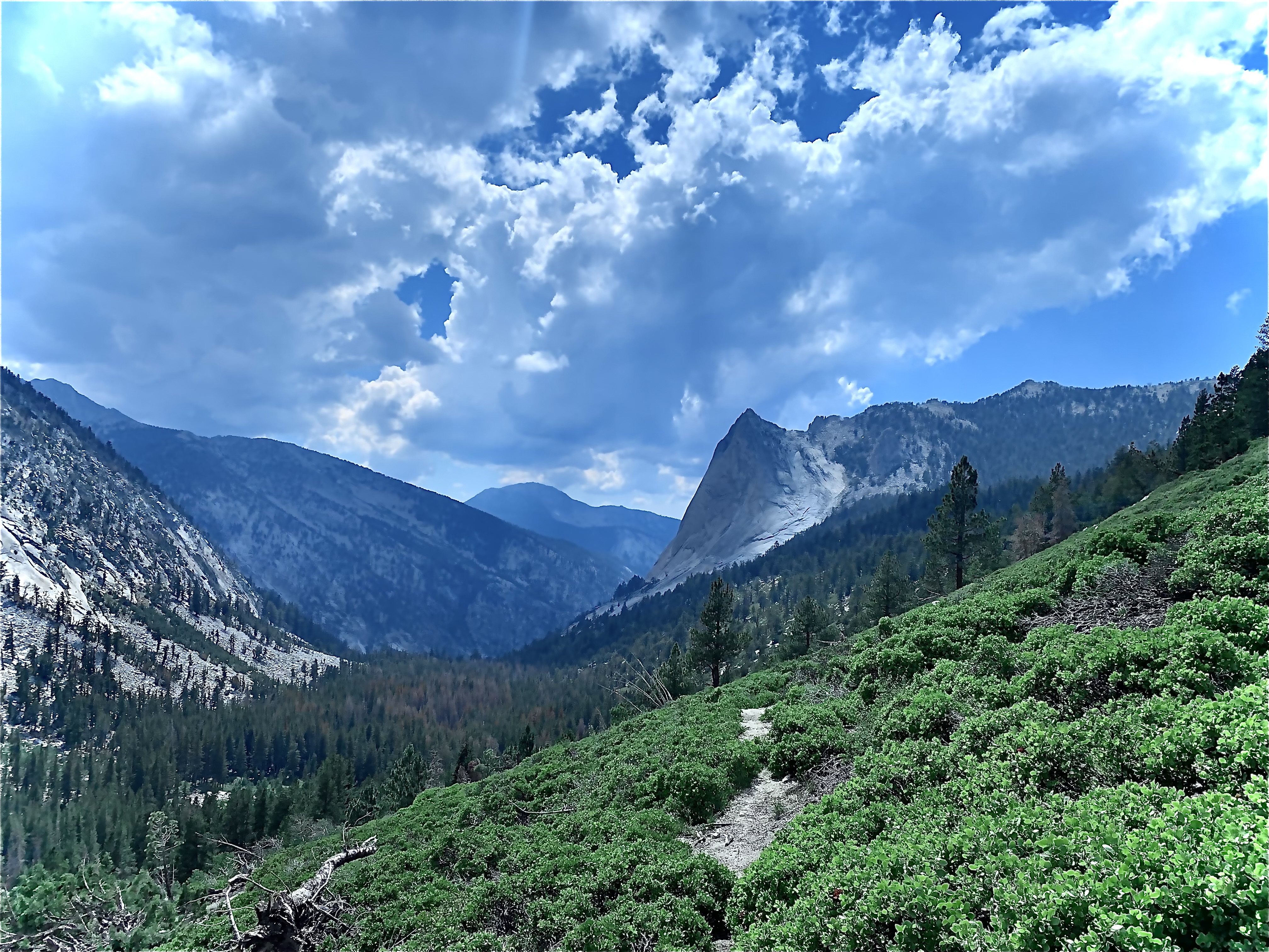
Granite Pass
Day 3: Granite Pass
Distance: 25mi - Vert gain: 6,400’
I made a slightly later start this day as I recovered from the miscalculation from the previous day.
The final approach to Granite Pass (9,540’) crossed several drainages and creeks where the mosquito
activity boarded on Biblical. I was really glad I didn’t need to make camp in this area. After gaining the
pass and descending into Granite basin I was in awe of the natural beauty.
Granite Lake in Granite Basin
This area is less trafficked than the JMT/PCT and I only encountered 1 person on this trail. I caught up to a hiker and we walked together for a while. While we walked I learned he was a Phd student studying
yellow frogs in the basins of the Sierra Nevada. He was spending two months living at a research facility
in Mammoth and he was in the field with another researcher for 5 days to gather data on the frogs in
Granite Lake and other lakes in the area.

He asked where I was from, and when I replied “Pittsburgh'' he responded “Pennsylvania?” (There is a Pittsburg - no “h” - in California) It turned out he is a Pittsburgh native and a Phd student at the University of Pittsburgh. This kept my streak alive of meeting a Pittsburgher on every long hike I’ve taken.
Colby Pass
Day 4: Avalanche Pass > Colby Pass
Distance: 26mi - Vert gain: 6,500’
The third night camp was made on the approach to Avalanche pass and by mid morning I was descending the southern side of the pass. Condition reports of Avalanche pass indicated that there were any blow downs blocking the trail. These reports were reinforced by a conversation with the Bench Lake backcountry ranger. In my opinion the reports were wildly overblown and I encountered very few blowdowns.
After visiting the Roaring River backcountry ranger, the rest of the morning and early afternoon was spent climbing up the Roaring River drainage to Colby Lake and eventually Colby Pass. The views in the basin and at the pass were spectacular. The descent to Junction Meadow was gorgeous and the views of the Kaweah Basin had me wishing I had an extra day to spend exploring the area. I made my camp on a bench overlooking the Kern River.
Camping Site Near Junction Meadow
Day 5: Guitar LakeDistance: 20mi - Vert gain: 5,500’
I started my day with the intention of getting to Guitar Lake early in the day so that I could take some extra rest to prepare for the climb up Mount Whitney. I was a little ahead of my schedule so I took a few hours in the morning to explore the Wallace basin.
Camp site at Guitar Lake
After lunch, I made my way to Guitar Lake which lies 4 miles and 3,000’ below the summit of Mount Whitney. Getting to camp in the late afternoon gave me some time to hang out with other hikers who were preparing to summit the next day. Most of them were hiking either the JMT or the High Sierra Trail and they would exit the trail via the Whitney Portal after attempting the summit. My permit would not allow me to exit but instead, I would need to retrace my steps and head north on the JMT after my summit attempt the next day. The evening alpenglow on the ridge faces east of Guitar Lake was sensational.
Day 6: Mount Whitney
Distance: 29mi - Vert gain: 7,200’
I woke up at 3:30am for an alpine start for my summit attempt. The doors of my shelter were open when I went to bed and faced the switch backs that lead to the saddle below the summit. Looking up to the mountain I could see about a dozen lights from headlamps on the side of the mountain. Seeing the headlamps got me excited and I broke down my camp and set off up the trail. Because I would return by the same route, I was able to leave my bear canister and food at my camp site thus reducing my pack weight by about 5 pounds for the summit hike.
The climb up to the summit was a slow grind and I got to meet still more hikers as I overtook small groups and chatted while we took breaks to catch our breath in the thinning air. I arrived at a cool, crisp and clear summit at around 7am and got some photographs and signed the log book before turning around and heading back downhill.
Mount Whitney Summit Photo
I had only walked in a little rain over the course of my hike, thus far, although many hikers I encountered had been subject to heavy storms. It’s common at high altitude to have storms in the middle to late afternoon due to the build up of energy during the day. However the storms had been abnormally energetic over the last several days and on the afternoon of day 6, the storms were particularly violent.
View from Mount Whitney Summit
As I hiked into Tyndall creek I noticed a hiker coming uphill toward me. I immediately recognized Scarecrow. He was still heading south on the JMT and following my route, I had circled around and bumped into him again. He told me about the storm he had just walked through complete with a nearby lightning strike so close that he smelled ozone after the strike.
View descending Mount Whitney
Not being in a hurry, and also not wanting to get any closer to Forester Pass (where I could clearly see lightning), I decided to take a side hike to Lake South America which is tucked into a basin with high, protective peaks on every side. My perch at the lake was a perfect seat to watch the storm in relative safety. After the storm broke up, I rejoined the JMT and hiked to just below treeline at 10,000 feet and camped just south of Forester Pass.
Lake South America with gathering storm in background
Day 7: Forester Pass
Distance: 21mi - Vert gain: 4,100’
The light did some cool things reflecting off the lakes along the climb up to Forester Pass. I had the pass all to myself and enjoyed my breakfast with the solitude. Coming down from the pass I met more hikers southbound JMT hikers and I enjoyed hearing their stories from the trail.
Lightplay on lakes below Forester Pass
 View looking south from Forester Pass
I got to the trail to Charlotte Lake around lunch time and so I had a few hours to explore the surrounding area. Hiking back along a carined route that lead away from Charlotte lake I came to an abandoned climbers camp on a plateau at the base of Charlotte Dome with a spectacular view of the upper Kern valley.
Charlotte Dome
Day 8: Kearsarge
Distance: 10mi - Vert gain: 2,400’
I camped my last night in the Kearsarge Basin just west of the pass and was treated to a perfect sunset and alpenglow. Unfortunately my cell phone battery was kaput so I don't have a photo to share. As I walked down to Onion Valley from the pass I caught up to another hiker, Dave, who is a retired veterinarian and we had a fabulous time recounting our various hiking trips and sharing stories.
After hitching a ride down to the Independence, I spent a rest of the day touring the town before catching a bus to Bishop. Bishop has having a town fair and I had a splendid time hanging out with the locals and pursuing the stalls of a handy-craft fair.