Flikr Photo-dump here: https://flic.kr/s/aHskJ6GYzj
The Route
The Collegiant Peaks Wilderness in the Sawitch Range of the Rocky Mountains west of Denver is a hotbed of alpine wilderness, hiking trails and high peaks. The 3,100 mile Continental Divide Trail (CDT) and the 500 mile Colorado Trail (CT) both pass through the region. The area is home to fifteen 14ers (mountains with a peak elevation of 14,000 or higher). The Continental Divide, which divides the watersheds to the Pacific and Gulf of Mexico, cuts through the Collegiant Peaks Wilderness in a north-south direction.
My route linked the CT and other lesser traveled trails on the eastern side of the divide with the CDT on the western side to make a loop that would return me to the starting point.
My hike would start and finish at Twin Lakes just south of Leadville, Colorado. In establishing my route I deliberately avoided the lower elevation sections of the CT and targeted opportunities to hike in the alpine zone and over a few of the 14ers in the region.
The Start - Day Zero
As usual, the most stressful part of a hike is getting to the trail head. Fortunately the mass transit options to get to and from the start are pretty good in this area of CO. I utilized some well written guides to navigating Colorado's mass transit options available on the web (https://pmags.com/colorado-transit-options-for-the-outdoors)
To get to the trail from the Denver airport required taking the RTA to Union Station, followed by a short walk to catch a Greyhound bus to Frisco. Once in Frisco a Lake County transit bus would transport me to Leadville. I was able to make the trip from home to the trail in a single day reaching the trail head around 5:30pm on a Friday evening and hiking until dark where I camped so my first day would start on trail.
Day 1
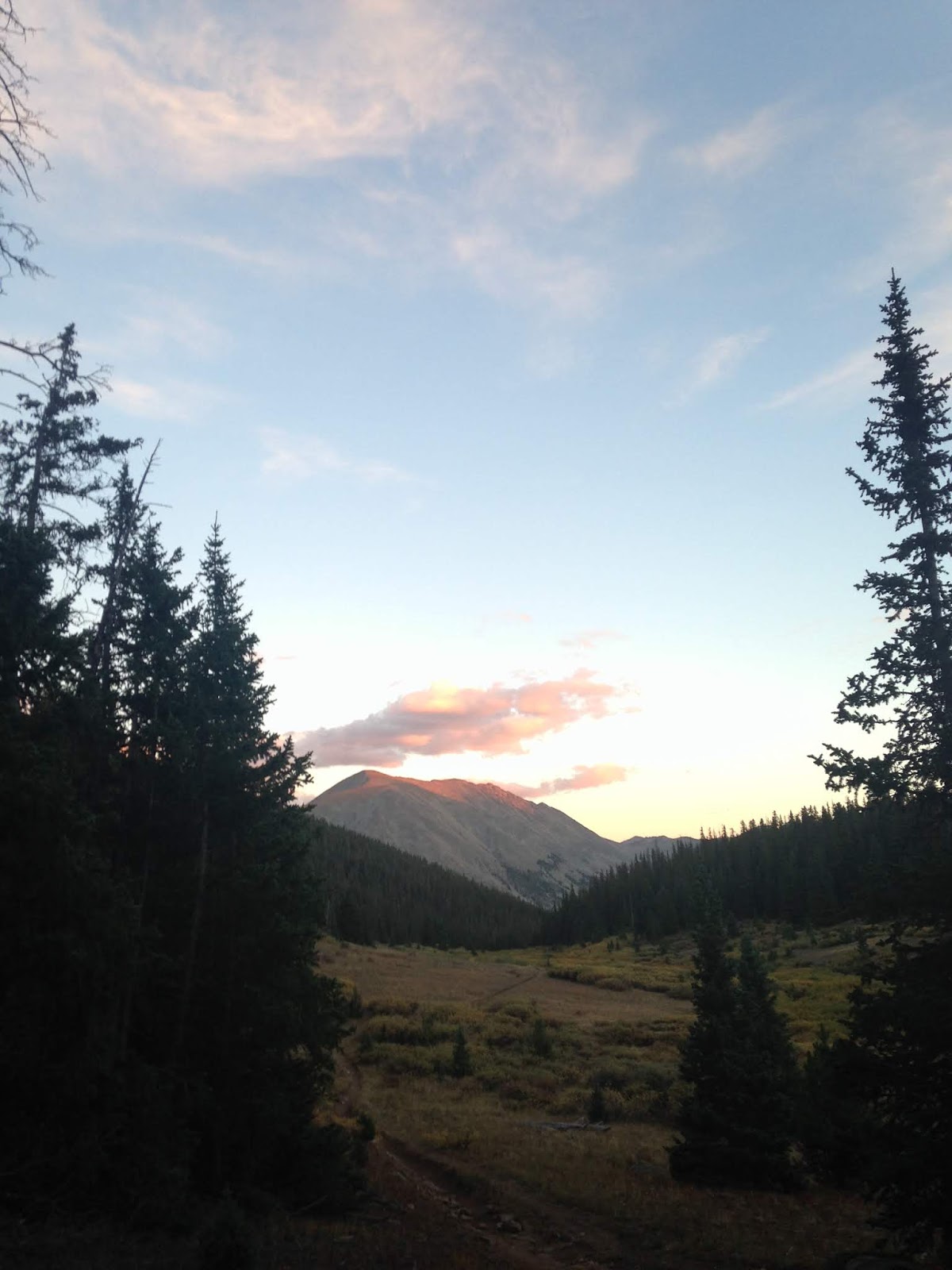
Day one started early heading south on the Colorado Trail after a good nights sleep just south of the Twin Lakes trail head. Since I was coming directly from sea level this first day stayed below tree line to allow for altitude acclimatization.
 |
| Gateway to Collegiate Peaks Wilderness |
About an hour after sunrise I came up behind the first person I'd see on trail. He was an older fellow. We chatted about where I was heading and he remarked he wasn't from around there and didn't know the area but it sounded nice. He asked where I was from and I responded "Pittsburgh."
"Really?" he said, "I live in Baden."
"Really?" I said, "I work in Ambridge."
"I graduated from Ambridge high school," says the stranger
Here we were, two guys who live 15 miles from one another who had to travel 1,500 miles to the Colorado wilderness to meet.
 |
| Harvard Lakes on the Colorado Trail |
By early evening I found myself in the parking lot near Silver Spring. After talking to some local hikers in the parking lot I decided to hike up the CT to the saddle at 12,000 feet situated just east of Mt Yale. Mt Yale would be the first 14er I'd have a chance to summit on my route.
 |
| Abandon Shack on the Slopes of Mt Yale |
That night the only significant rain of the trip would fall and the wind would howl in the tree tops above my shelter but I'd be snug in my spot on the saddle.
Day 2
This is where I would depart the Colorado Trail. The eastern CT segment stays relatively low and below tree line. Its nice trail but my goals for this trip would send me higher in search of more time in the alpine.
 |
| Above the Clouds on Mt Yale's Summit |
I waited to leave the saddle until first light to ease navigational stress following the caryned route to the summit of Yale. I hiked on class 2 and 3 terrain into the teeth of a stiff cold wind to the summit. I found a spot to have breakfast behind a large boulder out of the wind. I didn't linger long in the cold and took the standard route off the summit heading further west and descending to the road that follows Cottonwood Creek over the Continental Divide.
 |
| Pond below Ptarmigan Lake |
 |
| Slopes and ponds below Ptarmigan Lake |
 |
| Ptarmigan Lake |
That afternoon I hiked two lesser known trails, Ptarmigan Lake trail and Poplar Gulch Trail and stopped to camp for the evening a couple of miles north of St Elmo.
 |
| Alpenglow view from my shelter at sunset - Poplar Gulch Trail above St Elmo |
Day 3
I got an early start to give myself a few more hours to cover the next section of my route. I walked through St Elmo in the pre-dawn hours. St Elmo is a former mining camp and the site features a number of historic buildings dating back to the 1900s.
 |
| Jeep road switch-backing up to the saddle below Mt Antero |
The road out of St Elmo eventually lead to the jeep trail which climbs to the saddle below Mt Antero, another 14er near my route. As I climbed the jeep trail numerous ATVs and high-clearance vehicles passed me. Reaching the saddle a gale of a wind was blasting me in the face and I didn't linger long but hurried on my way.
 |
| Browns Creek Basin |
I decided to forgo a summit of Antero as the day was getting on and I had a lot of ground to cover before stopping for the night. From this location I went cross country through two adjacent gulches and eventually intercepted the Continental Divide Trail (CDT) near Hancock Lakes where I stopped for the night.
 |
| Chalk Creek Basin above Hancock Lake |
Day 4
Now that I was on the CDT I expected to start seeing thru-hikers. The CDT is one of the "Triple Crown" hiking trails, the other two being the Appalachian Trail (AT) and the Pacific Crest Trail (PCT). The CDT is a 3,010 mile foot path that extends from the Canada to the Mexico border roughly following the Continental Divide. It is the most remote of the three trails and considered to be the most difficult.
As I was breaking down my camp I met my first south bound thru-hikers, a pair of twins who referred to themselves as the "Aussie-twins." This meeting reinforced a theme I've noticed in my travels, that one meets more foreign hikers on the most popular trails than native hikers.
 |
| On the CTD north of Alpine Tunnel |
At this point the trail intercepts and follows a section of historic railway and climbs up to the Continental Divide on the old rail bed. In 1881 the South Park and Pacific rail company completed a project to tunnel under the mountain at the divide and join the east and west sides of the rail line. The historic site of Alpine Tunnel features numerous interpretive plaques describing the site and activities that took place in the early part of 1900s.
 |
| Restored Telegraph Shack at Alpine Tunnel Historic Area |
Alpine Tunnel was the southern end of what turned out to be the best section of alpine hiking I'd experience on the trip. The 20 mile section that extends north to Cottonwood Pass was the most exceptional alpine trail I've traveled. It passes through numerous valleys and basins past Ema Burr mountain and Mt Kretzer, crisscrossing the continental divide several times in the process. A harsh wind blew steadily out of the west and by the end of the day, though the scenery was exceptional, I was really looking forward to getting down from the Divide into the shelter of a low camp for the night.
 |
| Black Rock of Ema Bur Mountain |
 |
| Interesting light-play on the mountains near the Divide |
 |
| Descending to Cottonwood Pass |
 |
| Sunset on the CDT alpine |
Day 5
As I continued north on the CDT, I bumped into more south bound thru-hikers. On this day I met 3 hikers doing something extraordinary. Hiking all three long trails of the triple crown, the AT, PCT and CDT, makes a person a "Triple-Crowner" and is a coveted hiking honor. For most people this takes several to many years to complete as the hiking season allows most folks to only complete one trail in a hiking season.
 |
| Thanks and praise for Boars Head (typical lunch on the trail) |
This day I met three hikers who were attempting the "Calendar Year Triple Crown." That is, competing all three trails, nearly 7,920 miles of hiking, in a single year. This is an audacious hiking goal which to date, has only been completed by 5 individuals. These three had completed the PCT, and would complete the CDT when they got to New Mexico (they had flip-flopped the CTD) and upon completing the CDT would be starting the AT immediately. What amazing people we meet on the trail!
 |
| Red alpine flora on the west facing slopes of the Divide |
 |
| Lake Anne on the CDT |
Day 6
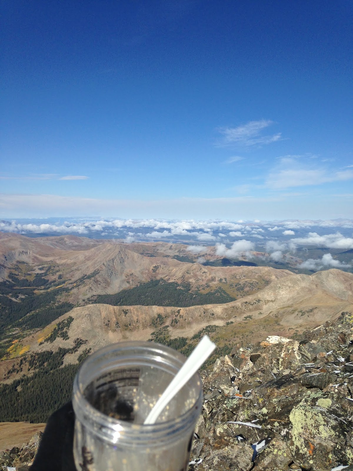
I awoke early from my camp spot on the lower slopes of Mt Huron, another 14er near my route. I made the summit at just after dawn and didn't linger long in the cold wind atop of mountain. I descended to the saddle and got behind a large boulder out of the wind.
 |
| Looking slightly derelict on Huron Summit |
I found I had cell service for the first time in several days so I took the opportunity to exchange texts with Amy while I ate some breakfast. As I sat there I started hearing the sound of broken pottery on the slopes below where I sat. A few moments later a mountain goat came into view as he climbed the steep slope near where I sat. He took little notice of me but went about his business of nibbling alpine plants and eating snow. I had a really horrendous angle with the sun and took the worst photo ever of a mountain goat but when the animal laid down in the shade, I knew it was the best I could do.
 |
| Alpenglow on Mt Huron |
I descended Mt Huron by the caryned eastern route and eventually met with Lake Fork gulch which connected me to the Sheep Gulch trail head. The trail from Sheep Gulch leads to the somewhat infamous Hope Pass, which is the turn-around point for the Leadville 100 foot-race. Many of my friends have done this race and I was excited to see the trail and the pass. The trail up the gulch was lined with aspen and a full-fall color show was on as I climbed the trail to the pass.
I think the wind at Hope Pass was the strongest I had experienced on the trail and I laughed out loud as I leaned into the wind to stay upright. Tibetan prayer flags had been attached to a log tripod at the pass and they beat hard in the gale. I took a few pictures and started the decent to Twin Lakes.
 |
| Aspen color show on Sheep Gulch |
 |
| Fantastic fall foliage |
 |
| Breaking out of treeline - Hope Pass |
As I descended, I felt a little overcome by the feelings I have at the end of an adventure. Mostly I'd describe the feelings as extreme humility and gratitude. The mountains had let me in, showed themselves, kept me safe and now I was passing out of their sphere and back into our modern world. Near Twin Lakes I met a couple from Australia on the trail and discussed my trip and their car-camping exploration of the American west. They remarked what an amazing country we live in and I agreed.
 |
| 40mph wind selfie - Hope Pass |
 |
| Last night on the trail |
I slept that night on the shores of Twin Lakes, just a couple miles from the road to Leadville and my exit from the range. I had a good sleep that comes at the end of journey and I woke with anticipation for my first hot meal in a week.
 |
| Sheep Gulch Foliage |
 |
| More aspen showing off near Twin Lakes |
 |
| Mural in Leadville |
I made my way to Leadville and made a beeline for breakfast. After filling up I spent the morning walking around town. Being alone, carrying a backpack and looking/smelling like I hadn't showered in a week made me somewhat endearing to folks and many people I encountered wanted to know where I had been and what I had been doing. I exchanged stories with well dressed couples, shop owners as well as other hikers, wanderers and vagabonds. The fellowship of the adventurer is strong in Leadville.
 |
| Breakfast at the Golden Burro - Leadville |


